Drones have been commonly used for military purposes. They are lightweight compared to conventional aircrafts and can be remotely controlled. However, they can be put to other uses than military strikes.
For instance, a drone can be used to carry emergency relief provisions to such areas which have been struck with a catastrophe. Such humane applications of drones are being studied and tested out by a humanitarian group called Ideate.
In the wake of disasters, one of the most critical problems is that of accessibility. Rescue workers often come across situations where they are aware that people are stranded in a given area but they simply can’t help them due to a lack of access. It may be because the transportation infrastructure is destroyed or due to a number of other factors.
At such times, drones can prove very useful. Ideate envisions a scenario where help provided through drone is tied up to GPS-based location of people needing help. If a person calls or sends a text message from a remote area which has been struck with a disaster, the drone is able to map the GPS signature of the device and can then be used to carry food, medicine and other needed items to him.
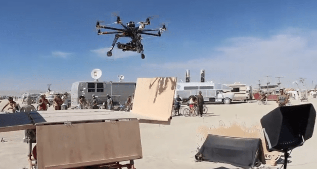
Ideate recently gave a proof-of-concept demonstration of its vision by navigating a copter to a certain location by making use of GPS data. This was accomplished in desert, so as to prove that the copter can work well in adverse circumstances.
Filed in . Read more about Drones.