 It’s actually kind of odd that Google has two completely separate navigation apps. The company has Google Maps and Waze, both of which share similar features and functions, but yet for years on end, both apps have existed separate of each other. However, it seems that Google could be close to bringing them together.
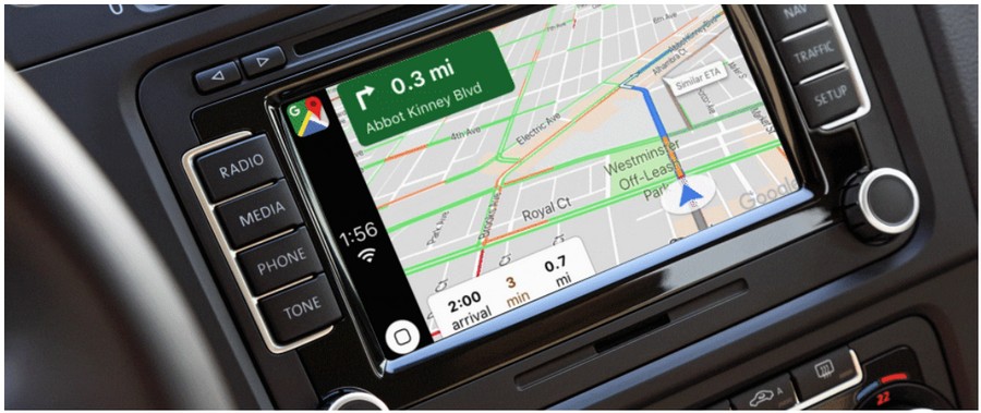
In the latest update to Google Maps, the company will be introducing a new feature to the mapping application in the form of a display that shows the current vehicle speed. This means that if you’re using Google Maps to navigate to a location, the app will also be able to tell you how fast you are driving.
Considering that it wasn’t too long ago that Google started to roll out the ability for users to report speed traps, users will now be able to check their speed while they drive along routes that have been marked with speed traps. Of course, one could always check their speedometer in their cars to see how fast they’re driving, but this is another option that might be worth checking out.
Unfortunately, the feature will not be available to all users in all countries yet. So far, only Argentina, Australia, Belgium, Brazil, Canada, Czech Republic, Portugal, Sweden, the United Kingdom, and the United States will be getting the feature for now, but expect that eventually it should find its way to other markets.
Filed in . Read more about Apps, Google and Google Maps. Source: mobilesyrup